How to locate GPS coordinates on a map.
A demonstration of how to find your location using a map and a compass.
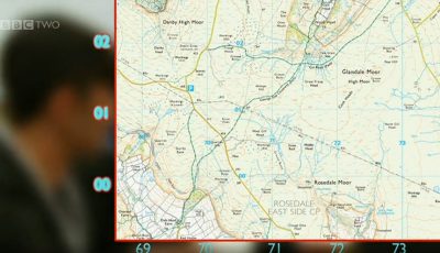
A demonstration of how to link two Ordnance survey maps.
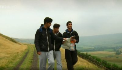
Three sixteen year olds navigate a route in West Yorkshire.
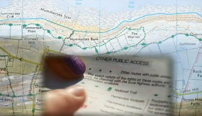
An explanation of what the different symbols on a map mean.
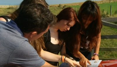
A demonstration of how to use an Ordnance Survey map.
Cookies help us run our services and give you a better experience. For the full details please read our Cookie Policy.